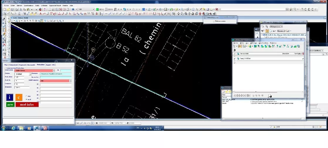

Creation and updating of cartographic and alphanumeric databases for pipe networks (stormwater, wastewater, drinking water, oily water and radioactive water) at various industrial sites.

GEOTOP can draw on its surveying technologies and its engineers, who develop interactive software that bridges the gap between its clients’ requirements, field data collection and the chosen GIS database.

