
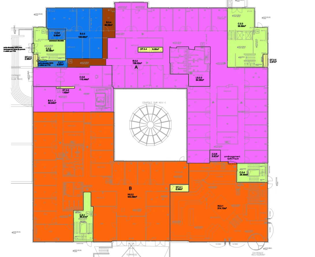
Vertical surveying enables the definition, measurement and legal demarcation of the units within a building, whilst facilitating management, sale and co-ownership. Through their precision and impartiality, our surveyors ensure reliability, traceability and legal certainty, thereby complementing the firm’s full range of land, urban planning and property services.
OBJECTIVES
- Ensure the accuracy and reliability of plot boundaries in co-ownership properties.
- Ensure a fair distribution of service charges and voting rights through the calculation of ownership shares.
- Provide legal certainty for property owners and managers.
- Facilitate the sale, letting or division of units through official, actionable documents.
- Integrate data into GIS systems and cadastral databases for sustainable and traceable management.
- Support the planning and asset management of multi-occupancy buildings.
DETAILED EXPLANATION
The surveyor and draughtsman are involved in:
- Accurately measure and demarcate each private unit and the common areas of a building,
- Produce georeferenced and dimensioned plans in accordance with standards,
- Calculate co-ownership shares for the allocation of service charges and voting rights,
- Provide official documents suitable for use in the administration, marketing or management of buildings,
- Ensure the legal certainty of deeds and land titles associated with the plots

