

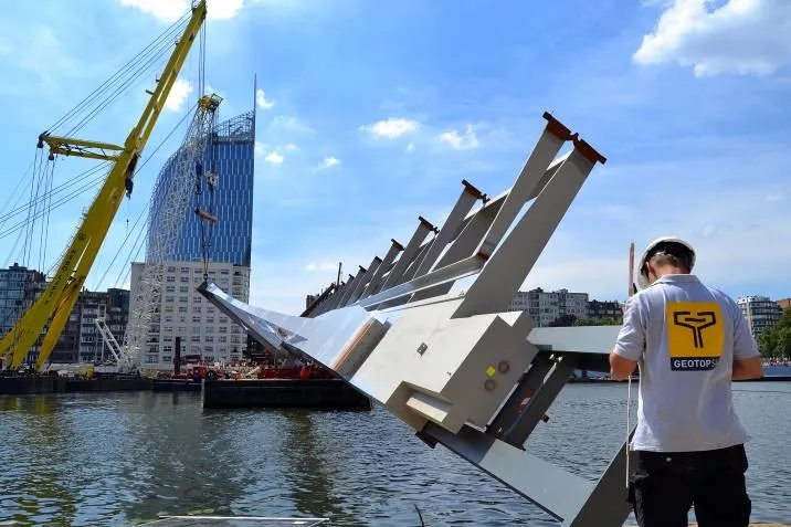
Topographical monitoring of engineering structures, including the checking of plans and existing conditions, and the setting-out of structures. Topographical monitoring of hydraulic structures: surveying and verification of existing conditions, setting-out and on-site adaptation of new structures.
OBJECTIVES
- Ensure the precise geometry and stability of structures,
- Ensure safety during and after construction,
- Provide reliable topographical and 3D data for structural monitoring,
- Contribute to the sustainability and predictive maintenance of structures,
- Provide full traceability at every stage, from design through to monitoring.
DETAILED EXPLANATIONS
- Topographic surveying and 3D modelling of sites prior to design,
- Millimetre-precise setting out of foundations, supports, piers, abutments and deck slabs,
- Geometric checks during the concreting, assembly or installation phases,
- Monitoring and assessment of deformations, settlement or movement over time,
- Precise as-built surveys for maintenance and heritage documentation.

